sunset over Bucharest
no taxi
|
Urban climate study of BucharestProject SummaryThe urban climate study of Bucharest is a joint Romanian-Swiss Research Project (RSRP) conducted by the University of Basel (UB) and the Technical University of Civil Engineering Bucharest (UTCB). It combines boundary layer meteorology measurements, numerical modelling and remote sensing on the Swiss side (Meteorology, Climatology and Remote Sensing, MCR-Lab) and regional development, civil engineering as well as Geographic Information System (GIS) and spatial data analysis of satellite data on the Romanian side (Urban Engineering and Regional Development Department, UTCB). The aim of the project is to integrate basic research on the urban climate and air pollution of the Bucharest region, analysis of time series of spatially distributed data from satellites, the application of the results for urban and regional planning, and the transfer and implementation of methodologies and spatially distributed data for local planning authorities. Aims & objectives
|
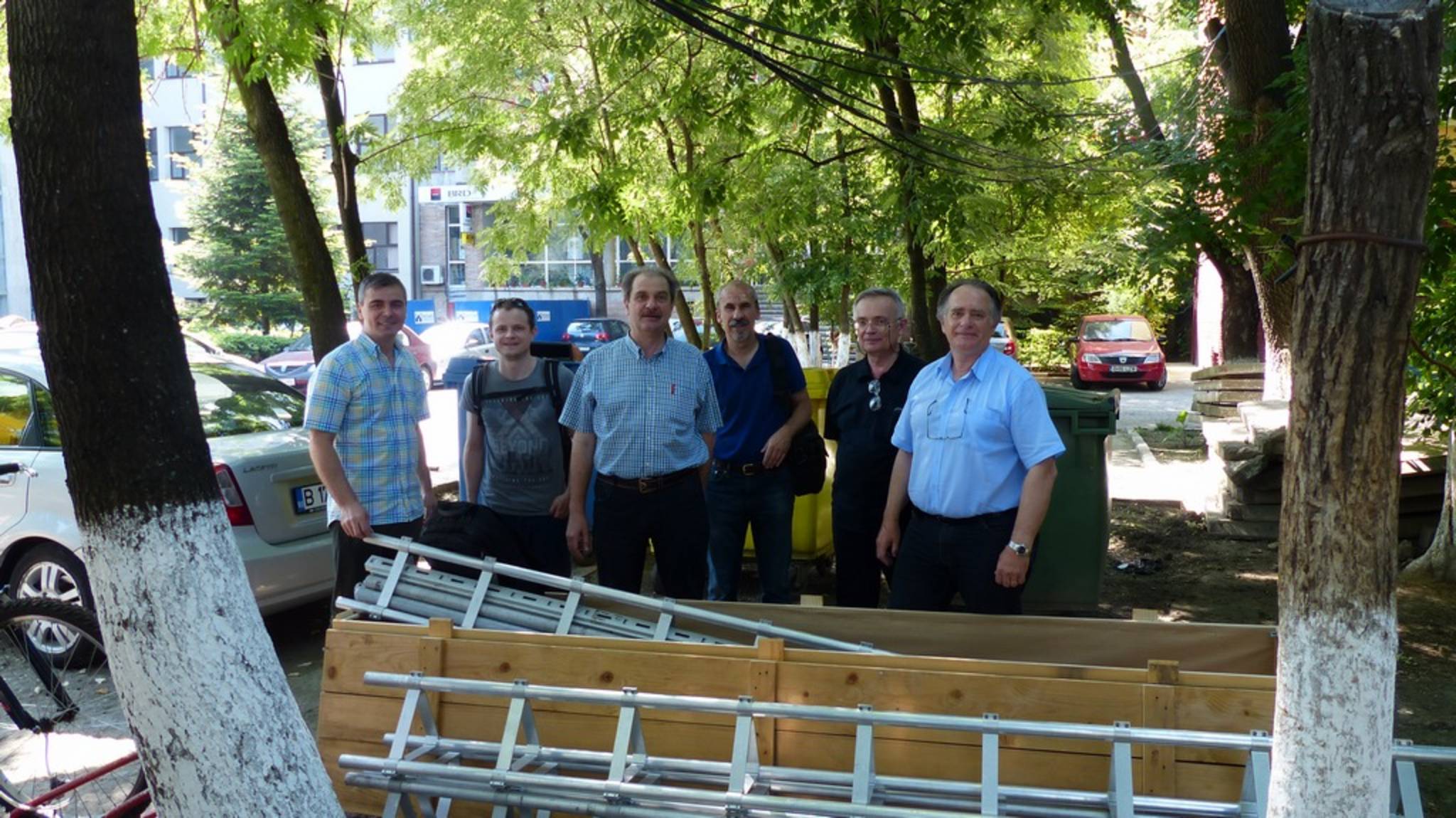
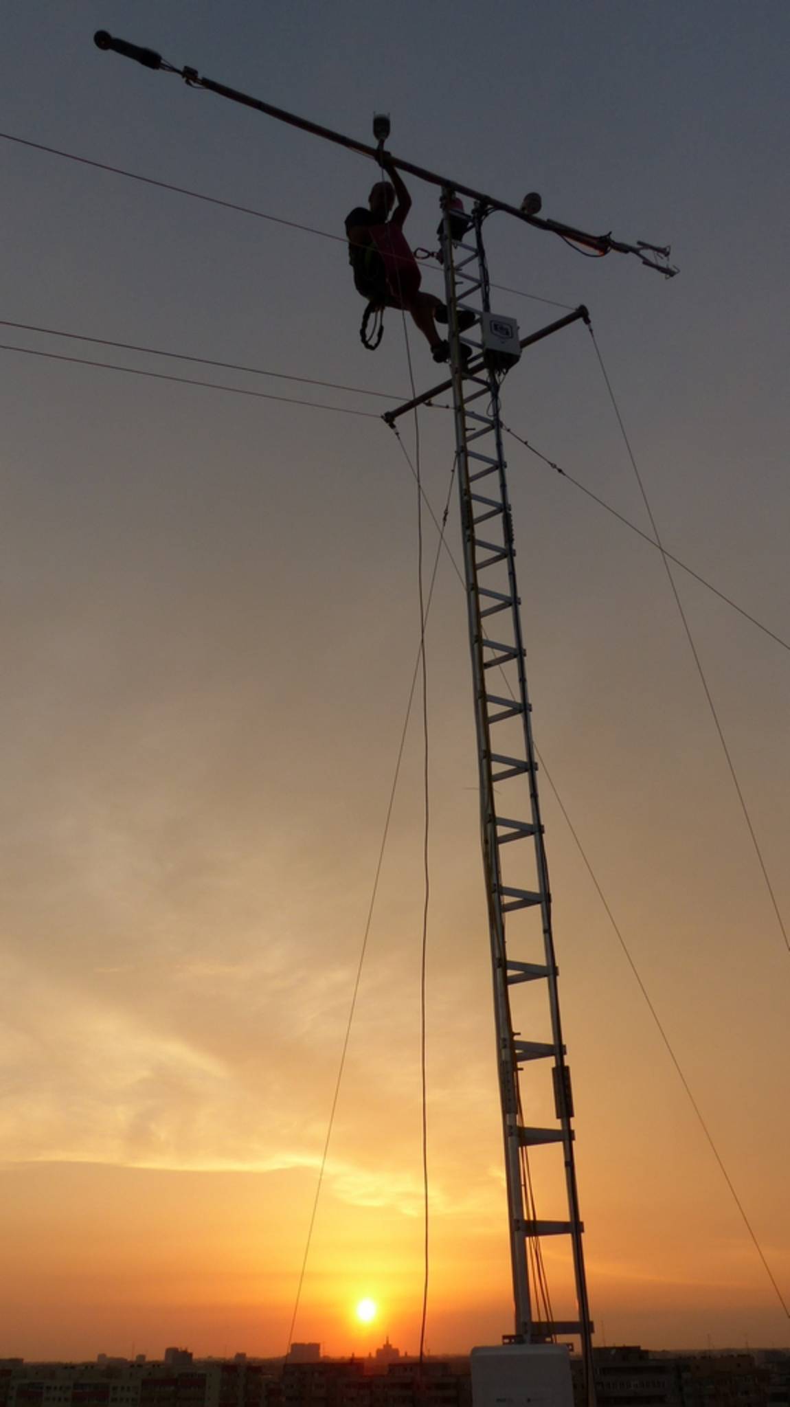
tower installation team ..
.. hard at work ..
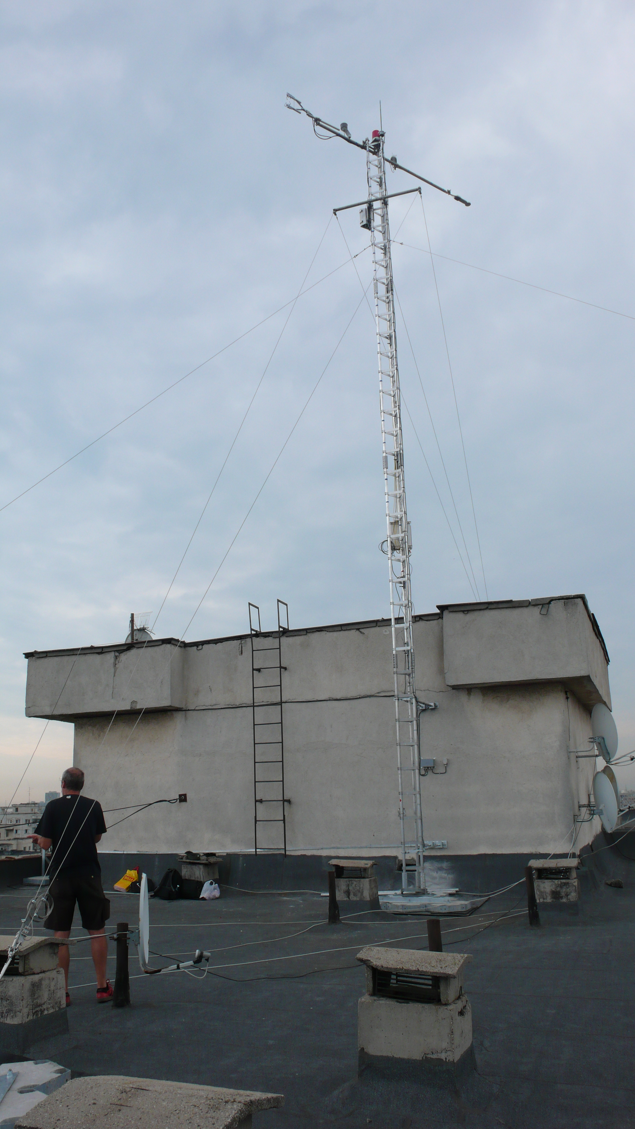
.. and finished!
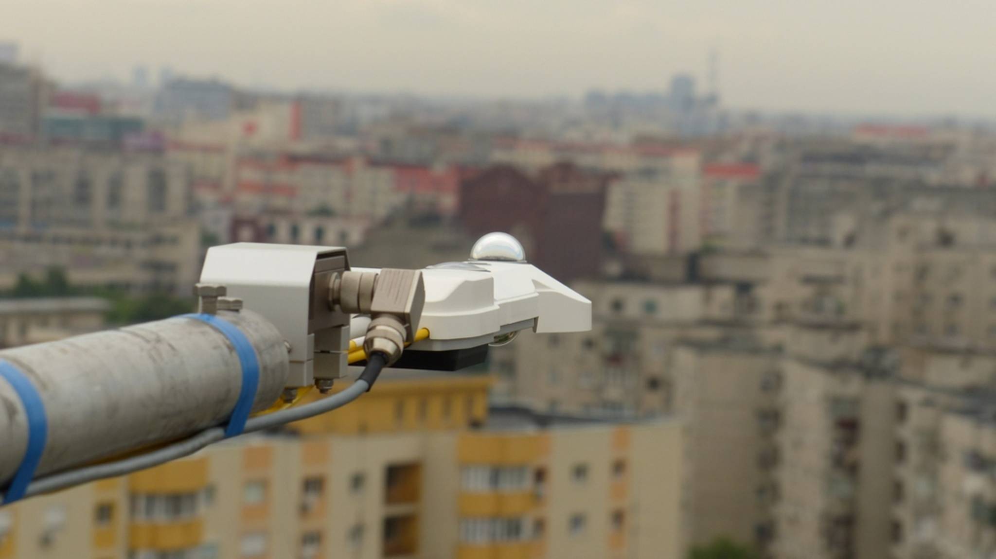
CNR4 net radiometer
|
Micrometeorological MeasurementsStation SetupThe micrometeorological measurements carried out by the MCR-Lab consist of two flux towers located in the city of Bucharest. Both stations are equipped with the same setup, to measure energy fluxes and basic meteorological quantities: Radiation BalanceThe individual components of the radiation balance (Rn), namely global radiation (SD), reflected radiation (SU), atmospheric radiation (LD) and terrestrial radiation (LU), are measured by a Kipp&Zonen CNR4 Net Radiometer. All terms are in W/m-2. If the components are balanced, one derives the radiation balance Rn = SD - SU + LD - LU Energy BalanceAs a basic principle the Surface Energy Balance (SEB) can be drawn as Rn + G = H + LE where G is the soil heat flux, H is the sensible heat flux and LE is the latent heat flux. All terms are in W/m-2. Of course, in a complex environment like an urban area, other heat fluxes e.g. from combustion, traffic or heating have to be considered as well. Sensible heat and latent heat are calculated by the Eddy-Covariance (EC) Method with data from a Campbell Scientific Irgason. Carbon DioxideCarbon Dioxide (CO2) is a good tracer for monitoring activity of vegetation (sink) and human activities e.g. traffic (source) in urban areas. Generally it can be expected, that the CO2 flux is directly linked to the diurnal cycle of traffic, which means high fluxes during daytime and smaller fluxes during nighttime. The concentration of CO2 behaves opposite, which is mainly due to small vertical extension of the planetary boundary layer (PBL) during the night (high concentration) and large vertical extension during the day (well mixed, lower concentrations). The concentration and the flux of CO2 respectively are measured by a Campbell Scientific Irgason. General MeteorologyTo monitor the general meteorological conditions, basic meteorological quantities are measured as well. This is done by a Vaisala WXT 520 Weather Transmitter which records air temperature, relative humidity, air pressure, wind speed, wind direction as well as precipitation. |

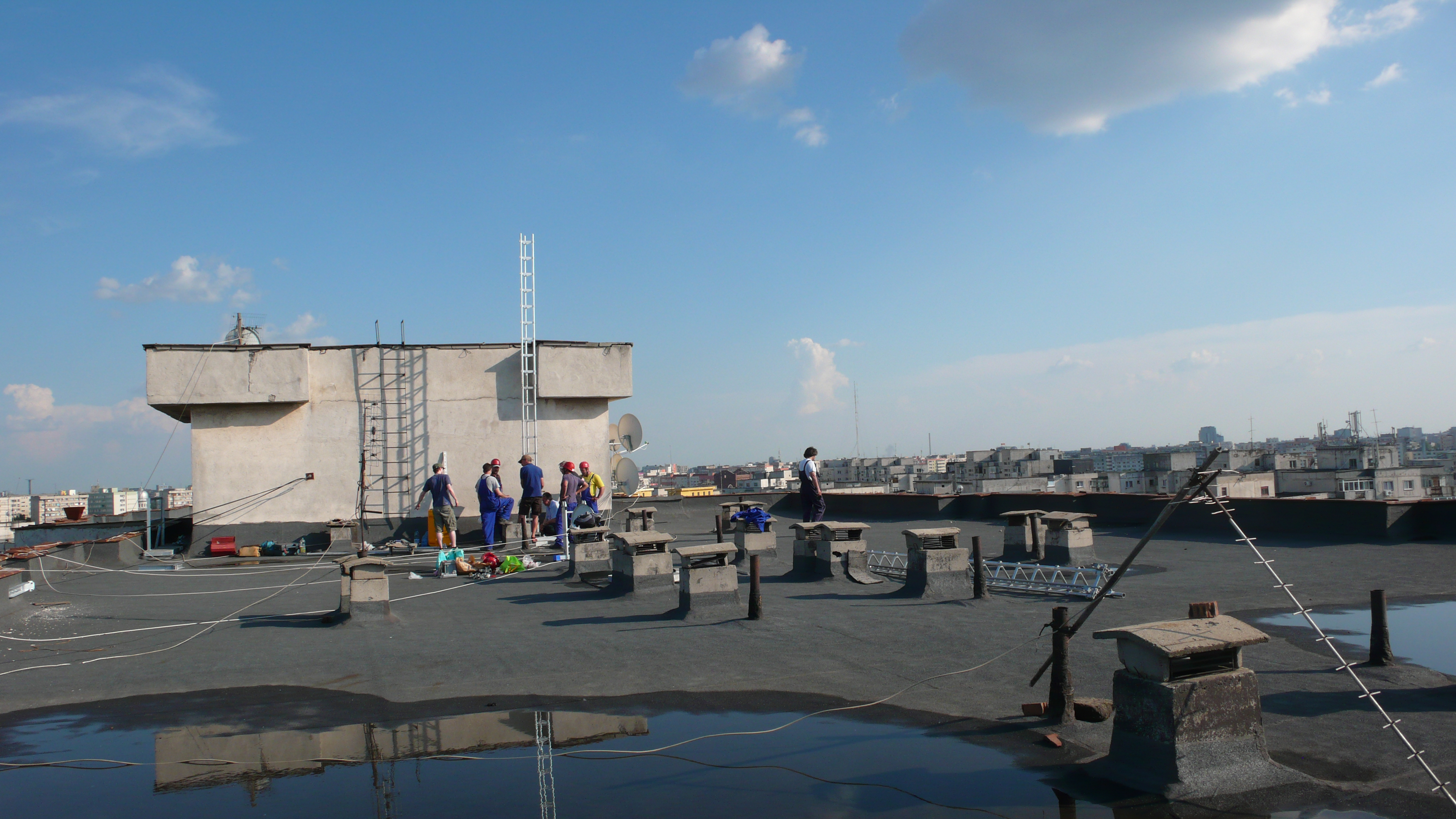
Panorama-View from the C7 site
C7 roof top..
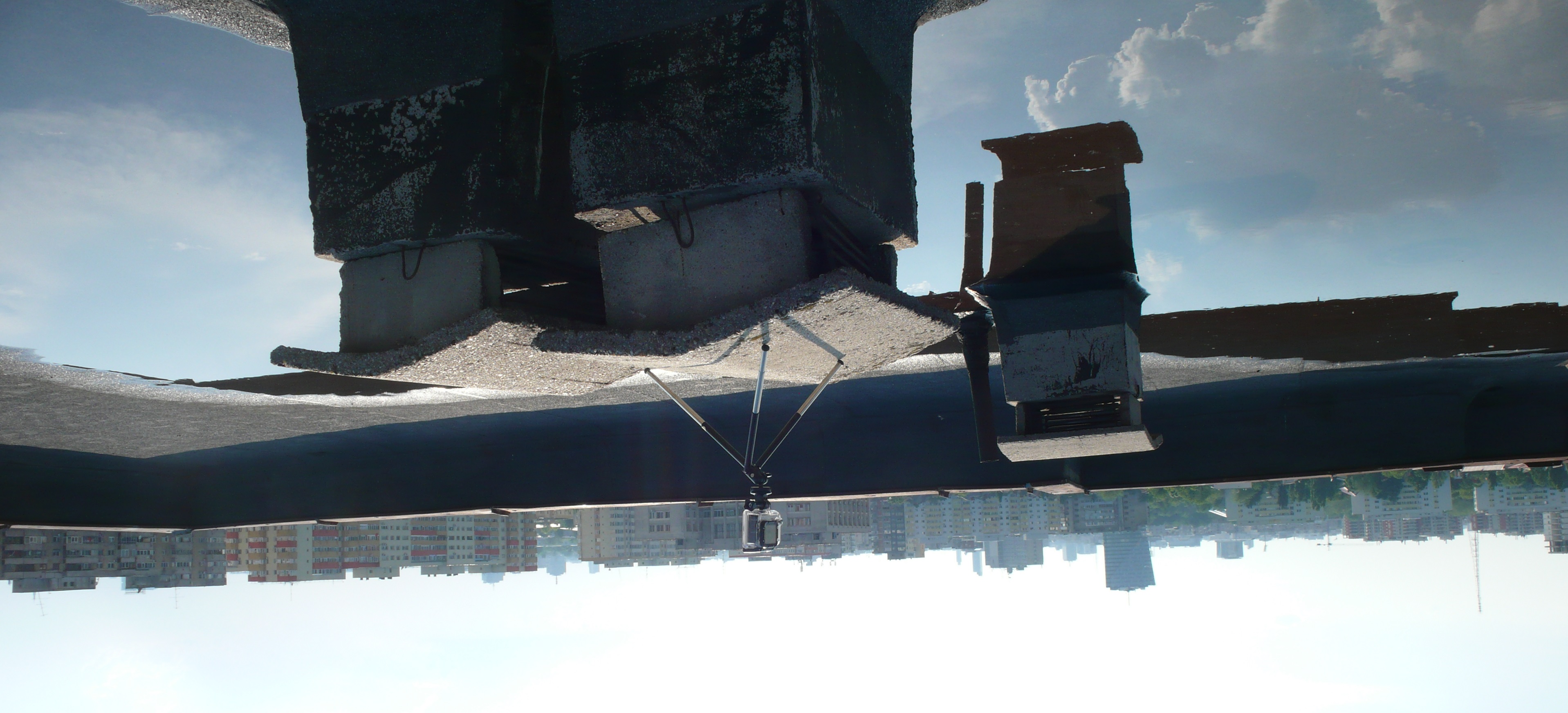
.. with "monitoring equipment" and clouds up in the sky
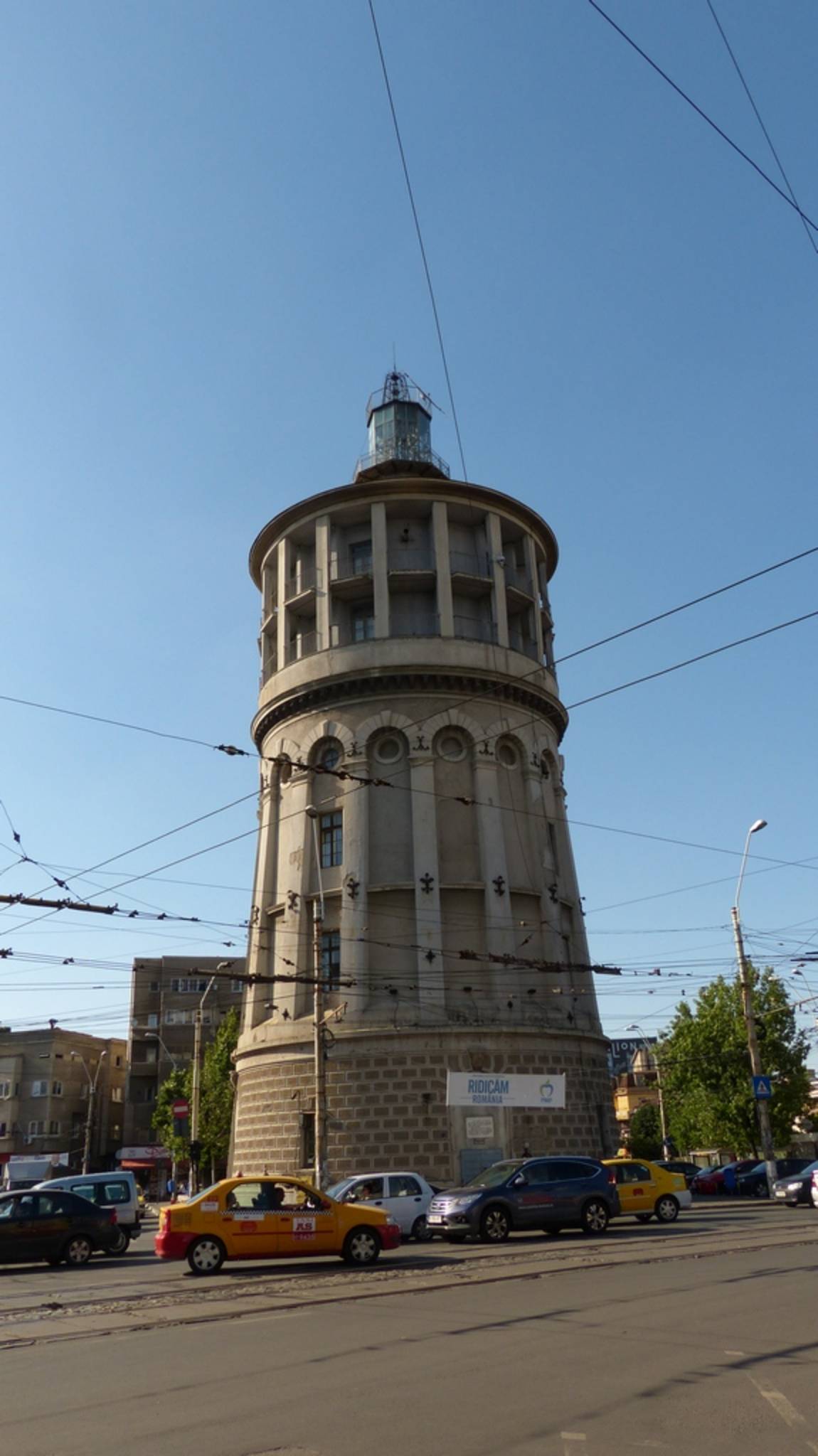
the "leaning" firetower
fire extinguisher
|
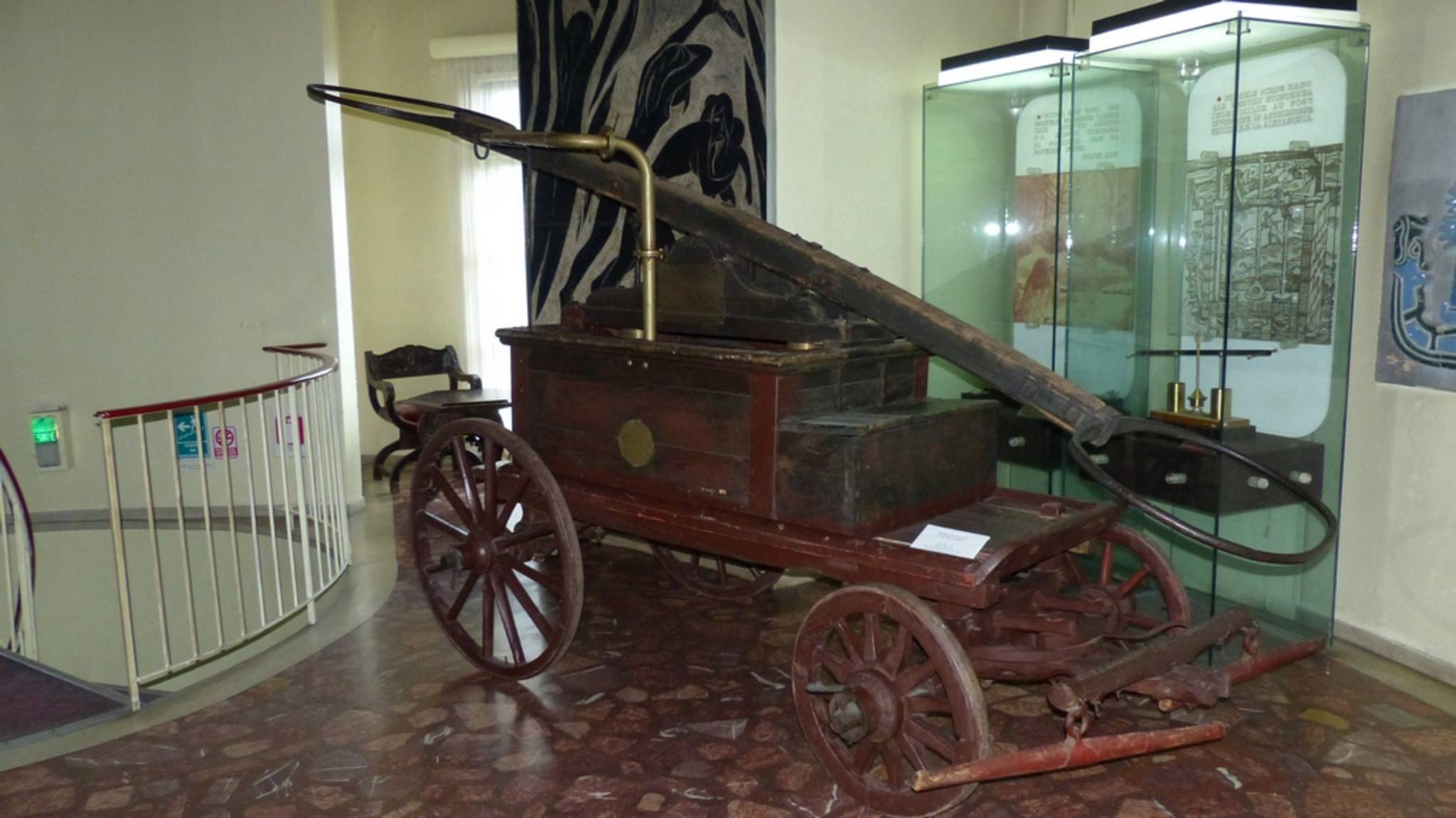
Measurement Sites:Caminul 7 44°27'36.76"N / 26° 7'17.38"ECaminul 7 (C7) is a students hostel located in the northeast of Bucharest, which is a ten story building 120m a.s.l. with a height of approximately 32m from street level. On top of the building a 12m flux tower was erected to reliably represent the surrounding area with a radius of several hundred meters. C7 is located in a residential area with ten story buildings to the East and the South and some lower one or two story houses to the West. The station is operational since 29th of May 2014 and data is directly collected via Internet. Current data are shown here. (no actual data at the moment due to connection problems) Firetower 44°26'24.84"N / 26° 7'14.68"EThe Firetower (FT) is located on a crossroad in the center of Bucharest. The building was former used as a fire monitoring tower and nowadays acts as a museum of the fire brigade. This site has been discontinued 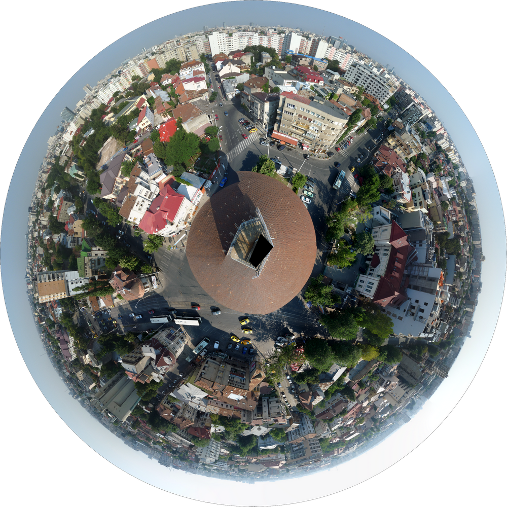
|