![]()
Landsat-5 TM Data
One Landsat-5 TM image will be included in a multi-sensorial and multi-temporal land-use classification together with five ERS-2 SAR images. The Landsat-5 TM image was acquired at Eurimage as full scene (SC5, track 195, frame 27) from the 11th of May with a resolution of 30 m.
For satellite data analyses larger spatial extends were used than the size of the study site demanded to avoid numerical problems at the boundaries of the study area. First steps were to perform the satellite data preprocessing.
Preprocessing included: Georeferencing and geocoding, atmospheric normalization, topographic normalization.
No bit-error filter was applied because it was a minor problem and the filter could effect correct pixels. The effects of striping were in the order of only one Digital Number. Therefore we decided to renounce the destriping to avoid artifacts induced by rounding the Digital Numbers which are stored as byte values. Atmospheric and topographic normalization were carried out in two separate procedures. Both procedures proved to be essential for obtaining high-quality classification results due to the mountainous terrain of the Swiss Jura.
All preprocessing steps are automated with the exception of the georeferencing and geocoding. Georeferencing was done by selecting ground control points spread over the whole Landsat-5 TM scene. UTM zone 32 coordinates and image coordinates (row and column number) of these ground control points were then used for geocoding the image by a second-order polynomial.
All stages of satellite data preprocessing and analysis including the ERS-2 SAR data were handled in UTM zone 32 coordinates, while only the results were transformed to Swiss National Coordinates to reduce errors resulting from coordinate system transformation.
 |
|
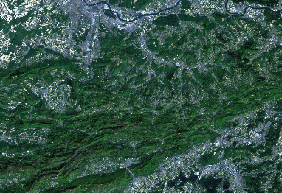
Fig. 1: Section of the geo-coded Landsat-5 TM scene of 11th of May 1998. Basel is located in the north along the river Rhein, Olten in the south-east of this image section along the River Aare. |
![]()
![]()
![]()